
(No caption)
Chad Selweski covered state and regional politics for The Macomb Daily for nearly 30 years. He contributes to Deadline Detroit and blogs at Politically Speaking.
By Chad Selweski
As the nefarious process of gerrymandering legislative districts by partisan politicians comes under intense scrutiny in 2017-18 across the nation, chances for election reform in Michigan this year have grown.
Michigan, North Carolina and Pennsylvania rank as the most gerrymandered states, with zig-zag district lines giving a distinct advantage to one political party. Petitions circulated by a Michigan group named Voters Not Politicians have put a proposal on November ballots that would transform the establishment of district boundaries for Congress and the Legislature by assigning those duties to an independent commission.
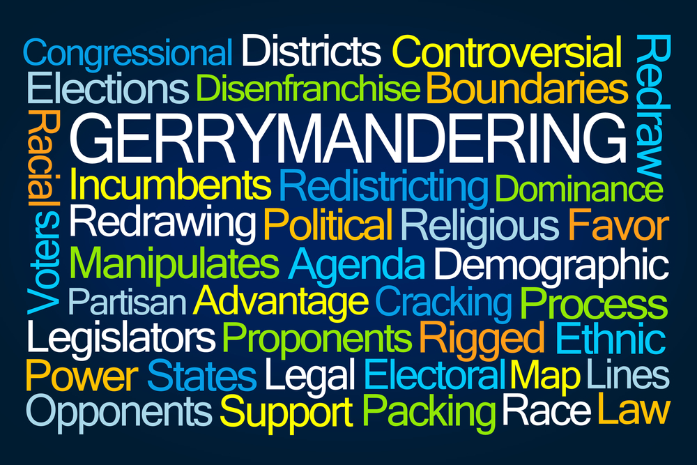
The nonpartisan group's name is based on the idea that the redistricting process should be open and transparent, not a closed-door process where the party in power cherry-picks sections of the state, drawing maps designed to protect its incumbent officeholders. Voters should choose their politicians, not the other way around.
Court challenges of state maps drawn after the 2010 Census are ongoing in Michigan, Pennsylvania, North Carolina, Virginia, Alabama and Georgia.
Yet, the Pennsylvania Supreme Court stepped up in an extraordinary manner earlier this week to demonstrate that far more fairness in the drawing of small-d democratic district boundaries for our lawmakers is fairly simple.
Map Destroys Partisan Claims
In Pennsylvania, where Republican President Donald Trump won by a 49-48 percent margin in 2016, the state’s congressional districts, created by Republican politicians, went 13-5 in favor of the GOP. When those boundaries were challenged in court, the state GOP drew up a new map that, again, gave the Republicans a 13-5 advantage.
In response, the Pennsylvania Supreme Court, with the help of independent experts over just a two-week period, drew its own boundaries and was able to destroy the self-centered lines drawn by Republican legislators. The map the court created will produce a likely GOP edge in this year’s congressional races of just 10-8.

GOP anti-democratic gerrymandering efforts in many states falsely claim certain restrictions – particularly the federal Voting Rights Act, which prevents chopping up largely black areas into various districts – have forced the creation of the current, convoluted maps.
Several ridiculously drawn congressional districts with squiggly lines, including the 14th District in southeast Michigan, fuel widespread calls for redistricting reform. The 14th snakes through the Detroit riverfront south of Belle Isle, across the northern section of the inner city bordering Eight Mile, through Southfield to the tony Bloomfields and into Pontiac.
The most infamous jagged districts created across the U.S. include the congressional map drawn in Maryland, the result of Democratic shenanigans.
Both Parties Play
Pennsylvania Republicans have, for the third time, mounted an 11th-hour appeal to the U.S. Supreme Court to preserve their highly questionable district maps. Twice over the past few months conservative Supreme Court Justice Samuel Alito rejected their petition for the nation’s highest court to hear the case.
The times are changing and the destruction of the good old boys’ network of drawing highly partisan district lines seems to be in full swing, just as the Michigan redistricting reforms will face voter approval in November.
The Pennsylvania case could take a place in the history of American jurisprudence, as the state’s high court ridiculed the original 2011 redistricting plan and plainly rejected the GOP legislators’ lame attempt to fix the map.
Blocking ‘Free and Equal Elections’
The court ruled that the Republicans’ district borders "clearly, plainly and palpably violate" the state’s Constitution. The justices produced a scathing, 139-page opinion concluding that the 2011 Republican redistricting plan was “aimed at achieving unfair partisan gain” and “undermines voters’ ability to exercise their right to vote in free and ‘equal’ elections, if the term is to be interpreted in any credible way.”
The ruling represented the first modern, full-on challenge of crimes against geography after many decades of this onerous, anti-democratic political practice.

The Pennsylvania court found that one circuitous Congressional district maintained a contiguous boundary only by slicing through the narrow property of a seafood/steakhouse restaurant. What’s more, the bizarre shape of a particularly jagged district has been described by critics as resembling a Disney version of Goofy kicking Donald Duck.
Computer software programs and mainstream mathematicians are now able to succinctly destroy the defenses of gerrymandered districts in fine fashion.

According to an analysis by The Washington Post, the court’s quickly redrawn map was far more compact, creating 1,100 fewer miles of boundary lines compared to the GOP’s version of zig-zag districts.
Imagine that.
The term gerrymandering was originally based on a biased district in Massachusetts about two centuries ago that resembled a salamander. All these years later, it appears that the courts – and maybe the voters -- are finally ready to reject districts shaped like Donald and Goofy.


